Achieve Survey-Grade Drone Mapping Accuracy Without the PPK Wait

SkylarkTM Precise Positioning Service improves the efficiency and precision of photogrammetry and LiDAR without adding complexity or cost. It has been rigorously tested and validated with popular drones from manufacturers like DJI and Skydio to provide a reliable and user-friendly experience.

Instant Access. No Credit Card Required.

Centimeter Accurate​

High precision positioning in more places, country-wide

Real-Time Reliability

In-air corrections to reduce reliance on post-processing

Fast and Easy
to Deploy

Enable precise location with rigorously tested interoperable components

EFFICIENCY

Instant Drone Mapping Accuracy

CHALLENGE

Relying on Ground Control Points (GCPs) or Post-Processing Kinematic (PPK) adds hours to fieldwork and map generation.

SKYLARK SOLUTION

Get 1-2 cm absolute accuracy in real-time, eliminating the need for most GCPs and the entire PPK workflow.

COST CONTROL

Unmatched Price-to-Performance

CHALLENGE

Traditional RTK solutions are often built for surveyors, driving up the cost per flight hour.

SKYLARK SOLUTION

Skylark is a cloud-based, receiver-agnostic service, offering superior capability at a fraction of the cost of proprietary RTK systems.

COVERAGE

Seamless, Country-Wide Coverage

CHALLENGE

Losing your RTK fix due to distance from a local base station or poor connectivity.

SKYLARK SOLUTION

Our dense network and advanced atmospheric modeling ensure a reliable, continuous centimeter-accurate fix in more places than other providers.

The Skylark Difference: Real-Time Accuracy for Drone Mapping

Centimeter Accurate

Achieve 1-2 cm horizontal and vertical precision, meeting or exceeding the requirements for most civil engineering, construction, and inspection projects.
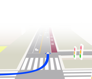
Fast Connection

Easily enable precise location. Compatible with major chipsets and receivers for quick and simple setup.

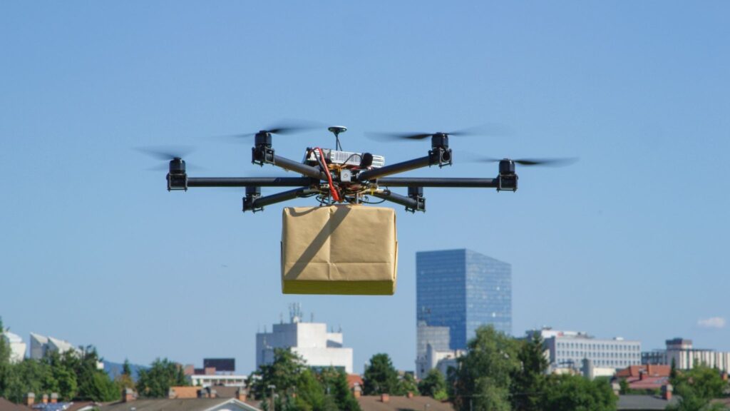
Payload Independence

Precise GNSS position corrects the drone’s location in the air, ensuring accurate results whether you are flying photogrammetry or LiDAR missions.

Flexible Fleet Licensing

Scale usage up or down. Purchase licenses directly through our self-service portal designed for operator efficiency.

How Skylark Delivers a Better Fix

Skylark is the only network RTK service that leverages atmospheric modeling to deliver continuous centimeter accuracy at an affordable price.

Partner Spotlight

Swift partners with leading US drone manufacturer, Skydio, to enable accuracy down to 2 cm as validated in field testing.

Stop Post-Processing. Start Flying.

Test Fly the Accuracy

Explore Coverage and Pricing

Talk to Us