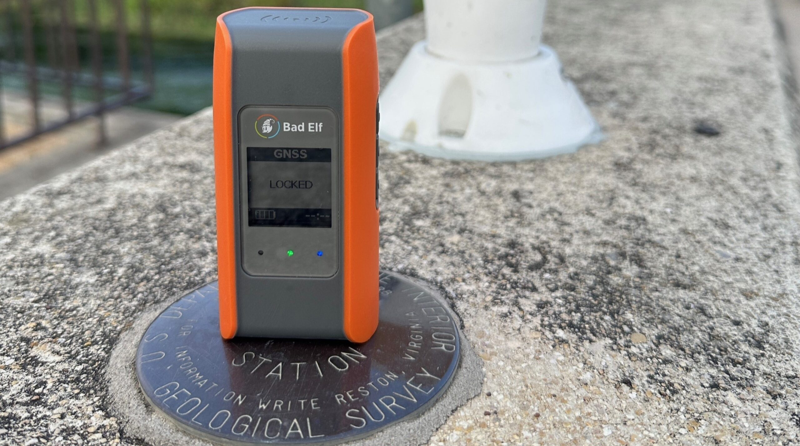
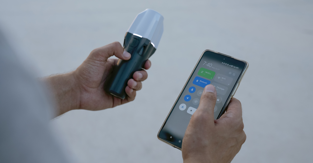
GIS Mapping
Survey-Grade Accuracy Without Survey-Grade Cost
Reliable Centimeter Accuracy Across Continents at an Affordable Price
Get reliable 1-2 cm positioning that integrates seamlessly with your existing GIS hardware.
Instant Access. No Credit Card Required.
Centimeter Accurate
Mass Market Affordability
Equip your entire field team with precision
Fast and Easy
to Deploy
COST CONTROL
Unbeatable Price-to-Performance Ratio
CHALLENGE
Legacy RTK systems are expensive, require complex setups, and are often overkill for daily GIS tasks.
SKYLARK SOLUTION
Reliable 1-2 cm accuracy delivered at a mass-market price point. Get survey-grade results with a simple NTRIP connection to a single endpoint.
CONSISTENT ACCURACY
Reliable 1-2 cm Accuracy That Works Everywhere
CHALLENGE
Distance from base stations and atmospheric interference often cause position drift and loss of fix.SKYLARK SOLUTION
Skylark leverages advanced atmospheric modeling to extend baselines and deliver continuous centimeter accuracy where you need it.COVERAGE
Continuous Coverage Across All of Western Europe
CHALLENGE
Regional networks are complex and costly to stitch together.SKYLARK SOLUTION
Skylark offers industry-leading coverage across North America, Asia, and Europe, including 100% coverage across 28 countries in Western Europe.HARDWARE FLEXIBILITY
Receiver Agnostic and Out-of-the-Box Ready
CHALLENGE
Many solutions lock you into specific hardware or proprietary software.SKYLARK SOLUTION
Skylark is fully compatible with any standard RTK-enabled, NTRIP-supporting GNSS receiver, including those from Emlid, Bad Elf, and other popular field devices.GIS Mapping Resources
Devon Sharp
Devon Sharp
Devon Sharp
How Skylark Delivers a Better Fix
Skylark is the only network RTK service that leverages atmospheric modeling to deliver continuous centimeter accuracy at an affordable price.
Trusted by the Best in the Industry
Using Skylark instantly simplified our field operations. The fact that it works out-of-the-box with our existing Bad Elf devices saved us thousands in new hardware costs. The consistent accuracy means we spend less time re-measuring and more time mapping.
Larry Fox, Vice President of Marketing and Business Development
Together Emlid and Swift Navigation are delivering a joint solution that is ideal for mass market deployment of surveying and mapping technology. For any company with multiple teams taking any kind of measurements in the field, this is the way to go.
Igor Vereninov, co-founder and CEO
Our collaboration with Swift Navigation enhances CHC Navigation’s ability to deliver cutting-edge GNSS solutions. Our customers benefit from exceptional precision and productivity no matter where they work.
George Zhao, Founder and CEO
We developed the vLoc3 RTK-Pro to simplify and accelerate utility projects for our customers. When used with Skylark, teams can locate and map utilities with survey-grade precision — all with a single, easy-to-use device and no need for an RTK base station.
Josue Pineda, Product Manager, Utility Locators


